NYC Pre Construction Survey Requirements
The Building Code 3309.4.3 excavation thresholds, TPPN 10/88 landmark rules, who orders the survey, and what the record must contain, in plain terms.
NYC pre construction survey requirements come down to one code section, the one that applies whenever excavation runs close to an adjacent building: Building Code 3309.4.3. It says no excavation 5 to 10 feet deep within 10 feet of an adjacent building, and no excavation over 10 feet deep anywhere on the site, may begin until the existing conditions of all adjacent buildings have been documented in a preconstruction survey. Related rules add monitoring during the work and extend documentation to landmark buildings within 90 feet.
We’re OpenDoors360. We shoot pre construction surveys and post-construction documentation across New York City, and the question we hear from general contractors, developers, and owners is almost always some version of “does my project actually need one.” Here’s the plain-English answer.
- The main trigger: excavation 5 to 10 feet deep within 10 feet of an adjacent building, or over 10 feet deep anywhere on the site (BC 3309.4.3)
- During the work: Section 3309.4.4 adds monitoring of adjacent buildings once excavation is underway
- Landmarks: TPPN 10/88 calls for documentation and monitoring of designated landmark buildings within 90 feet of certain excavation and foundation work
- Who orders it: the person causing the excavation, in practice the GC, developer, or owner
- What it contains: a photographic record of existing conditions on every adjacent building, defects called out, images geotagged and timestamped
- Who performs what: an engineer of record runs monitoring plans and seals filings; the photographic documentation itself is what firms like ours produce
What does NYC Building Code 3309.4.3 actually require?
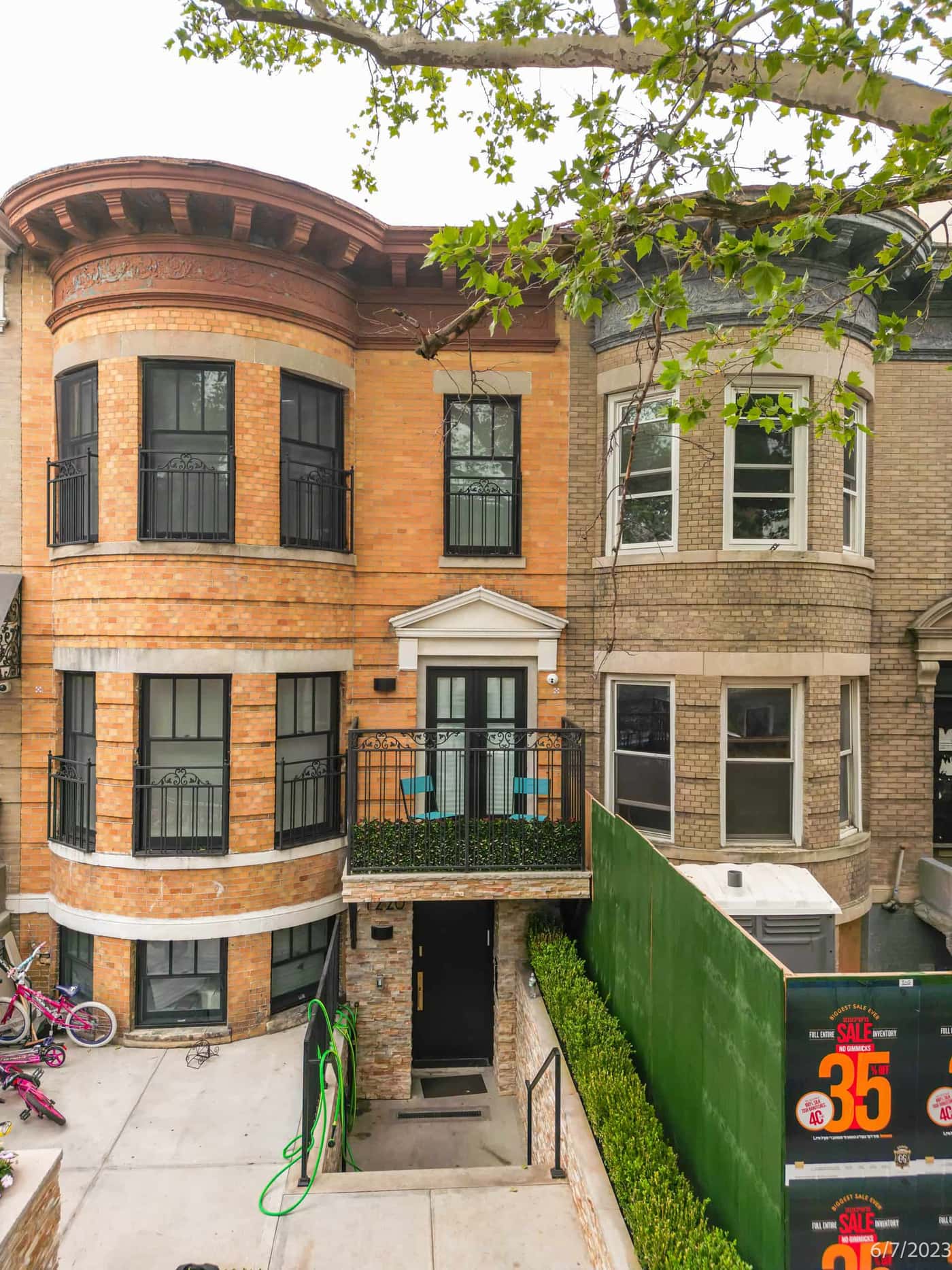
Section 3309.4.3 requires a preconstruction survey before excavation crosses either of two thresholds. The person causing the excavation must document the existing conditions of all adjacent buildings before work starts when the dig is 5 to 10 feet deep within 10 feet of an adjacent building, or over 10 feet deep anywhere on the site, regardless of distance.
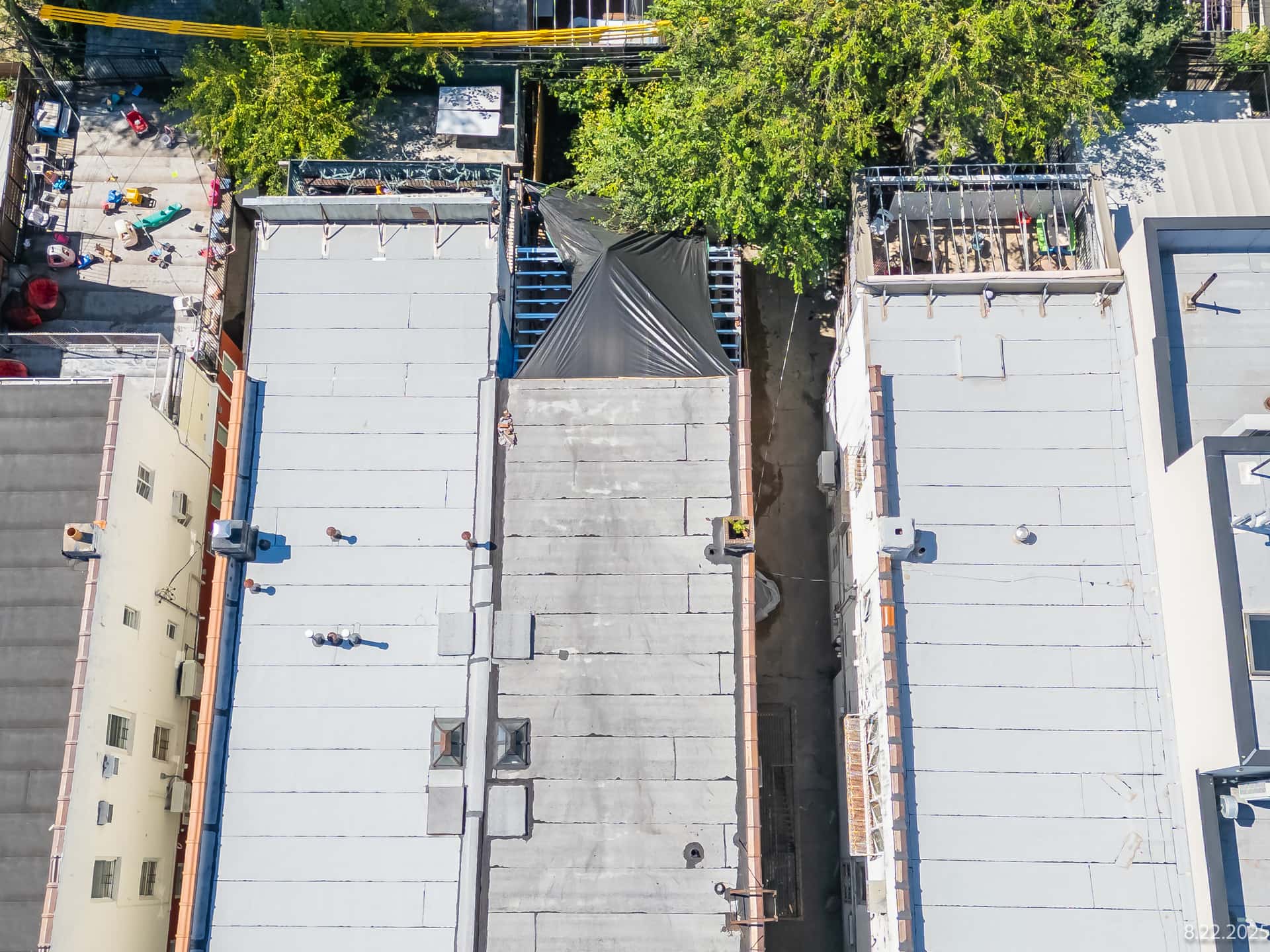
Notice what the rule cares about: depth and proximity, not project size. A modest rear-yard addition in Brooklyn with a 6-foot excavation a few feet off the property line trips the requirement just as surely as a Manhattan tower does. The threshold question isn’t “how big is my project,” it’s “how deep am I digging, and how close is the neighbor.”
The section sits inside Chapter 33 of the Building Code, the chapter on safeguards during construction or demolition, and it works alongside the geotechnical requirements in Chapter 18. Where a monitoring plan applies, Section 3309.4.4 continues the obligation through the dig itself: adjacent buildings get checked as the work proceeds, not just before it.
The two thresholds, side by side:
- 5 to 10 feet deep: survey required when the excavation is within 10 feet of an adjacent building
- Over 10 feet deep: survey required no matter where the excavation sits on the lot
What counts as a preconstruction survey under the code?
The code’s language is compact: the existing conditions of all adjacent buildings must be documented. In practice, the record that satisfies the project team, the insurer, and an engineer of record has a consistent shape.
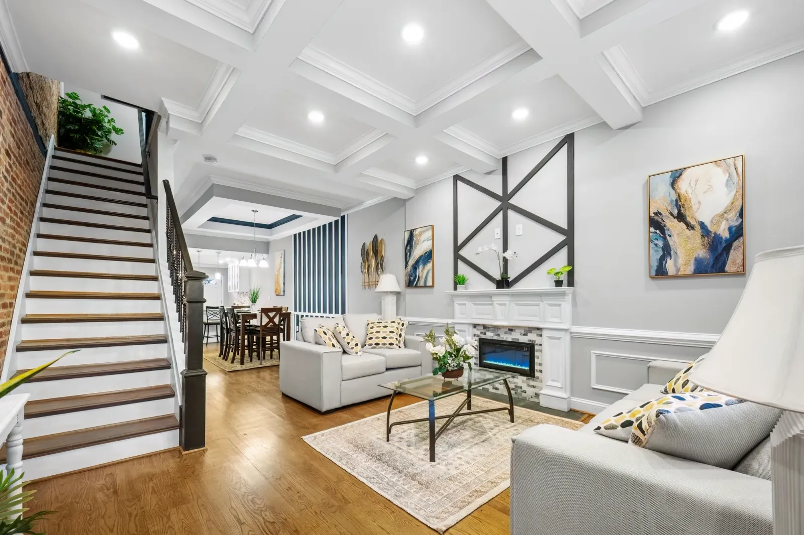
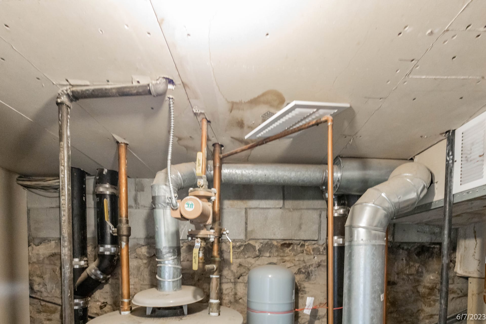
It covers every accessible room and elevation of each adjacent building, inside and out. It calls out existing defects individually: cracks, settlement, staining, prior repairs, each with a close-up and a location note. And it’s verifiable, meaning each photograph carries its own capture time and location data, geotagged and timestamped, so nobody has to take anyone’s word for when it was shot.
That last property is what separates a survey from a camera roll. A year later, when a neighbor’s attorney asks how you know that crack predates your excavation, the answer sits in the image metadata.
We walk the full structure of the deliverable, section by section, in our pre construction survey sample report breakdown. The short version: cover section, methodology, exterior record, interior record, defect callouts, index.
Who is responsible for ordering the survey?
The code puts the obligation on “the person causing an excavation to be made.” On a real project that lands on the general contractor, the developer, or the owner, depending on how the contracts slice responsibility, and the party who orders it is usually the party whose insurance would answer a damage claim.
Two other players matter. The engineer of record designs and runs the monitoring plan on projects that need one, and survey documentation gets built to slot into that engineer’s file. And the insurer often drives the scope in practice: carriers want the baseline before they want the claim.
One boundary worth naming, because it decides who you hire for what. Monitoring plans, structural assessments, and DOB filings are licensed engineering work. The photographic documentation of existing conditions is not; it’s what documentation firms produce for the engineer, the GC, or the owner. Nobody should imply a photo survey alone satisfies an engineering filing, and no engineer wants to re-shoot a site because the record arrived unusable.
What does TPPN 10/88 add for landmark buildings?
TPPN 10/88 is a DOB technical policy that extends protection to designated landmark buildings. When certain excavation and foundation work happens within 90 feet of a landmark, the landmark structure gets documented and monitored, a wider radius and a more careful standard than the general adjacent-building rule.
If your site sits near any of New York’s thousands of designated landmarks, and in neighborhoods like Brooklyn Heights, Park Slope, or much of lower Manhattan that’s more common than not, the 90-foot circle around your excavation deserves an early look. Finding a landmark inside it late in preconstruction planning is an expensive surprise.
When should the survey happen, and what does it cost?
Timing is simple: before the trigger work starts, and after the scope is settled enough to know which neighbors are in the affected zone. Most teams schedule it alongside permit finalization, weeks before mobilization, so access visits with neighboring owners can be arranged without holding up the dig.
Cost scales with the number of adjacent properties, their size, and access, which is why serious providers quote per project rather than publishing a flat rate. Ours are quote-only too: send the site address and scope through our pre construction surveys page and we return a number, usually within two business hours.
Two companion records round out the documentation cycle. A post construction survey repeats the baseline at closeout, which is what turns “that crack predates us” from an argument into a lookup. And on longer builds, construction progress photography fills the months between with dated records of the site itself.
What happens if you skip the survey?
The honest answer: the project carries every neighbor dispute on memory and goodwill.
Without a baseline, a damage claim from an adjacent owner becomes a fact-finding exercise with no facts. The neighbor says the crack is new. Your super says it looked old. Nobody photographed it either way, and the settlement math starts from uncertainty, which is expensive. The code requirement exists precisely because adjacent-property damage disputes were common enough, and ugly enough, to legislate.
There’s also the practical permit-file reality: on projects where the DOB, the engineer of record, or the insurer expects the documentation, its absence stalls exactly the parties you need moving.
A survey ordered before the dig costs a fraction of one week of a stalled project. That’s the whole economic argument, and it’s why the buyers here, GCs and developers who’ve been through a claim once, rarely need convincing twice.
FAQ
Is a pre construction survey legally required in NYC? When your excavation crosses the Building Code 3309.4.3 thresholds, yes: the existing conditions of all adjacent buildings must be documented before the work begins. Below those thresholds it isn’t mandated by that section, though engineers, insurers, and lenders frequently require one anyway.
Does the requirement apply to renovations without excavation? Section 3309.4.3’s trigger is excavation depth and proximity. Renovation work without qualifying excavation doesn’t trip it, but demolition near occupied buildings, underpinning, and vibration-heavy work carry their own documentation expectations under Chapter 33 and standard practice.
Who performs the survey, an engineer or a photographer? Both appear in practice. Licensed engineers run monitoring plans and seal reports; photographic documentation firms produce the visual record those plans and files rely on. What matters is that the record is complete, defect-called, geotagged, and timestamped.
How far from my site do I need to survey? The general rule covers adjacent buildings, and the practical zone is set by the engineer or the scope of work. For designated landmarks, TPPN 10/88 extends the documentation radius to 90 feet from certain excavation and foundation work.
Does a survey cover interiors of neighboring buildings? It should, wherever access is granted. Settlement shows on interior plaster and trim before it shows outside, so interior documentation of adjacent properties usually matters most in a claim.
What’s the difference between a pre construction survey and a dilapidation survey? The name. Dilapidation survey is the same record under the term used in other markets: photographic documentation of existing conditions on adjoining properties before construction begins.